
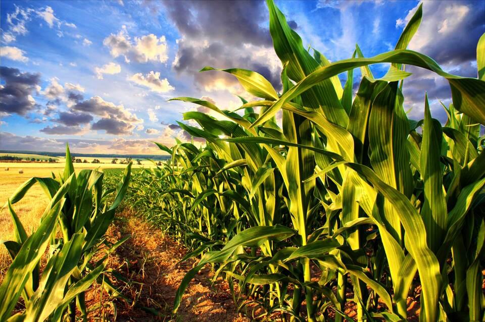
U.S. Corn conditions declined by 1% g/e last week vs average market ideas of unchanged, with the current 61% g/e rating comparing to 76% g/e at this time last year. Overall conditions remain the second worst of the last ten years, only being better than the historically poor conditions in 2012. Condition declines were seen in ND and TX of 5%, KS and TN 4%, IA 3% and MO 2%. Improvements were mostly limited with IN up 2% and MN, SD, OH and KY up 1%. Conditions were unchanged in IL, WI, NE and MI.
Furthermore, spring wheat conditions declined by another 2% g/e to 31%, while unchanged conditions were expected. ND was down 3%+, MT down 4% and ID down 10%, while SD was unchanged and MN and WA were up 3%. Overall conditions are the second worst in nearly 30 years. Harvest is 9% complete, in line with average and last year.
As far as weather, rains are expected to mostly get underway Thursday with most of MN and northern 1/2 of IA getting .50-1”with widespread coverage. The rest of IA and most of MO should see generally under .50” with around 55% coverage. To the east, models remains mixed with the GFS showing .50-1” + to fall across much of region, with only western IL to see less than .50”, while the European sees rains of .50-1” to fall in most of WI and MI, as well as eastern OH with most of IL and IN to largely miss the rains. The 6-10 day outlook continues to show a NW flow to produce rains in the .20-.80” range, with coverage of around 70% and no heat is in the forecast over the entire 16-day outlook. Traders should remain bullish across wheat and corn, at least until August 10 – When the next major crop report is released.
Dec ’17 Corn Daily Chart
